Home | Utility Locating | Subsurface Utility Engineering (SUE) | Subsurface Utility Designation and Mapping
Accurate underground mapping and locating provide direction for design and installing new utilities while preventing damage to existing utilities
National Underground Group’s subsurface mapping and utility locating services find and identify the precise location of underground utilities. This includes gas, water, sewer, electric and telecommunication lines, for municipalities and utility owners and their engineers. In addition, we offer our utility locating services to homeowners and contractors.
We accurately map underground utilities, pinpointing the exact horizontal and vertical coordinates of each structure. Our maps provide a precise representation of utility positions in proposed work areas. This enables decisions related to rerouting new utilities to be made at the project planning stage and helps prevent damage to existing subsurface infrastructure.
Advanced electromagnetic detection, surveying technologies and records produce precise horizontal and vertical coordinates of subsurface structures
To accurately locate and map subsurface utilities, our service employs proven technologies and processes:
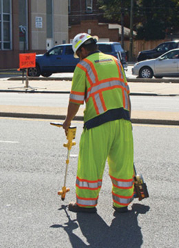
- Subsurface utility designation and mapping determine horizontal locations of existing subsurface utilities and structures
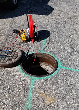
- Cost-effective, non-invasive, geophysical Ground-Penetrating Radar technology locates underground utilities using radar pulses; also useful for locating drain fields, underground storage tanks and non-metallic utilities
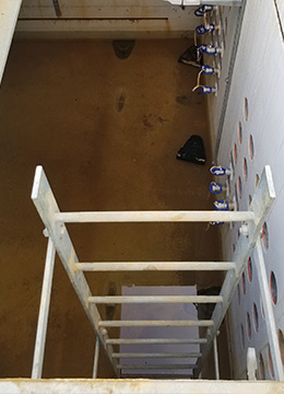
- Non-destructive subsurface utility locating process uses vacuum excavation to dig test holes that establish the vertical and horizontal location of existing utilities and help identify areas of potential utility conflicts
- Subsurface utility mapping uses electronic site searches, record probes and surveying technology to plot precise coordinates of subsurface utilities
- Vacuum or hydro excavation uses pressurized water to penetrate surface soil which is removed by a high-flow vacuum, exposing utilities while eliminating damage associated with traditional digging
Service Lines
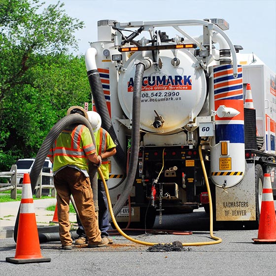
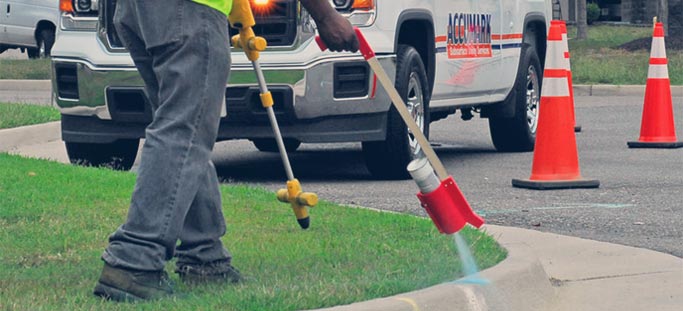
Accumark
Accumark provides locating services for a complete Subsurface Utility Engineering field services solution. Also offering subsurface utility designation, mapping and locating services, Accumark is recognized for its safety-first focus and outstanding customer service as well as accuracy and timeliness that lead to cost savings and damage prevention.
Go to Accumark Go to Accumark Go to Accumark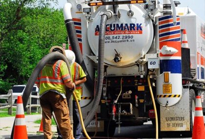