Comprehensive location and marking ensure safe drilling and excavation
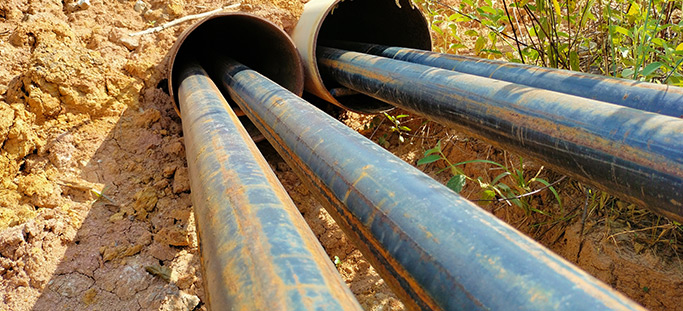
Existing utility lines, installed before detailed records and schematics of wastewater infrastructure were produced, can easily be damaged by unaware drilling crews attempting to install new lines. This can harm crews, the environment, damage infrastructure and equipment, and cause utility outages.
National Underground Group’s pre-construction mark and locate services provide comprehensive utility asset locating and marking services. This helps contractors planning to install new or replacement utilities avoid damaging existing infrastructure located in proximity to their excavation area.
Advanced locating technology helps avoid cross bores and intrusive excavation
Our pre-construction mark and locate services include locating cross bores and existing lines and laterals to keep them from being damaged by any proposed boring or excavation. By applying advanced robotic lateral launch systems, we can quickly identify the main, each connection and the service lateral’s position up to the foundation of the structure.
This technology makes locating utility infrastructure easier and less intrusive for crews and property owners. We also conduct risk assessments of regions and make recommendations for the best place to make inspections in locations where underground drilling has recently been performed. Additionally, when unique circumstances require access to private property, we operate a dispatch center 24/7 that coordinates all field activity.
Experience and GIS-based data management reduce risk and guard safety
National Underground Group’s extensive experience locating and marking utilities has enabled us to help numerous utility providers across multiple services perform their work safely and reduce risk of conflicts with existing infrastructure.
Our locating and marking data management process utilizes cloud technologies from locating data (including videos and GPS observations) to GIS-based mapping systems, which results in a comprehensive, date-stamped library vetted by a highly experienced quality-control team. Users have full viewer access to the GIS mapping software through a login.
Service Lines
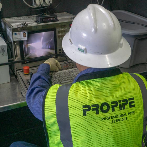
Pro-Pipe
Pro-Pipe provides cross bore inspection and pre- and post-construction inspections for trenchless installations. Utilizing advanced technology and sophisticated equipment, Pro-Pipe digitally maps (GIS) underground infrastructure, provides condition scoring for prioritization and assessment, and offers comprehensive maintenance and rehabilitation.
Go to Pro-Pipe Go to Pro-Pipe Go to Pro-Pipe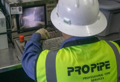