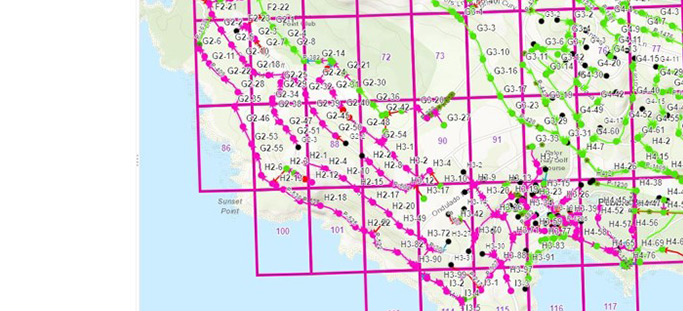
Accessible pipe inspection data provides accurate guidance for infrastructure maintenance operations
National Underground Group’s GIS pipeline mapping services provide a quality data management process that includes the ability to track production, isolate inconclusive inspections for further review, and date-stamp final cleared locations.
This enables full viewer access to the GIS mapping software by log-in and eliminates time spent sorting, reviewing and prioritizing essential sewer and natural gas line GIS data. The ability to easily locate accurate underground facilities enables utilities, engineers and municipalities to coordinate their infrastructure maintenance operations.
Accurate and organized inspection data maximizes underground mapping efficiency
Experienced GIS pipeline mapping professionals guide our clients through their program from start to finish. After inspection, high-definition scans and conventional closed-circuit television (CCTV) recorded observations are collated and sent directly to pipeline mapping software. This enables users to select a geographic observation layer for viewing and instant decision making.
Accurate locations of connections, observations, defects and pipe ratings can be integrated into a pipeline GIS database during inspection for delivery in the form of shape files or geo-databases. Data can include pipe slopes, invert elevations and any other specified information required for underground mapping, potentially saving thousands of hours of work required to search for and collate such information.
Service Lines
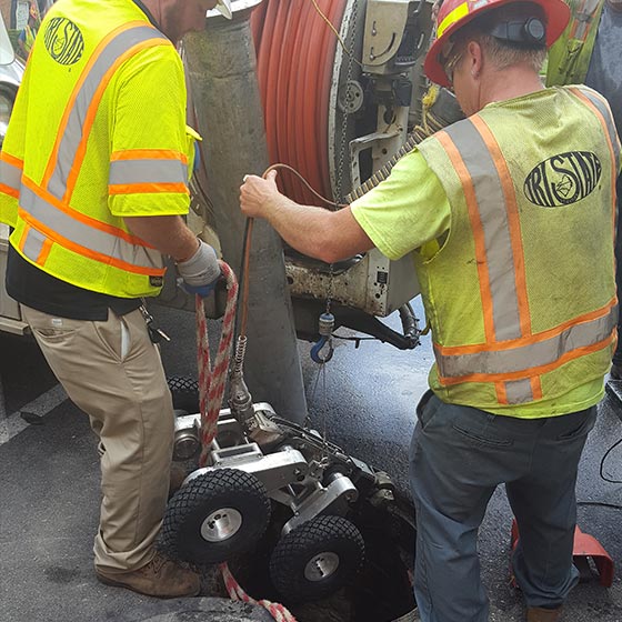
Tri-State Utilities
Tri-State Utilities provides turnkey pipeline rehabilitation solutions and utilizes industry-leading trenchless pipe lining technologies, including the cured-in-place-pipe (CIPP) lining method, on sanitary sewers and storm drains. Customers trust Tri-State Utilities for its in-depth expertise, local knowledge, faster response time, quality assurance and cost-efficiency.
Go to Tri-State Utilities Go to Tri-State Utilities Go to Tri-State Utilities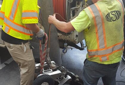